July 29th, Australia Day 158

Wednesday, September 14, 2005

July 29th, Australia Day 158

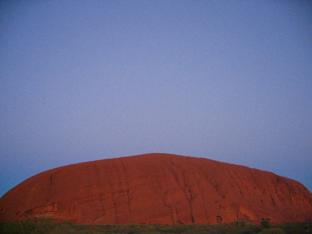
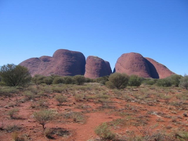
These photos I took on my third day of touring central Australia.


Hopefully you will be able to see this. This, and the next photo show Uluru-Ayers Rock at dawn from the place where we viewed sunset so that the sun is rising about behind the formation. The spot where we view sunrise is actually on the other side of Uluru-Ayers Rock. Posted by Picasa


Photo 2 Posted by Picasa


This is the first photo of a sequence of 6 photos which shows the colour change across Uluru-Ayers Rock at sunrise. I used the same change of center technique I used during sunrise and part of Uluru-Ayers Rock was cut off because we were too close for me to fit it all in. Posted by Picasa


Photo 2 Posted by Picasa


Photo 3 Posted by Picasa


Photo 4 Posted by Picasa


Photo 5 Posted by Picasa


Photo 6 Posted by Picasa


This, and the next show the "Kuniya's Trail" feature I wrote about in my blog entry. You can really see it in Photo 2. If I'm not mistaken these photos fit in between Photos 2 and 3 in the sunrise sequence. Posted by Picasa


Photo 2 Posted by Picasa


This was the sunrise that morning. Posted by Picasa


This formation, known as Kata Tjuta in Anangu and The Olgas in English is near to Uluru-Ayers Rock. This feature was created by wind erosion and it created several domes, 34 in all. The talles one was named Mount Olga by the first European explorer and the name came to apply to the whole feature. Posted by Picasa


This formation is seen when entering Kata Tjuta-The Olgas. Posted by Picasa


Beyond the tops of the foreground trees lies the Valley of the Winds. Posted by Picasa


This cool, little stream runs through Kata Tjuta-The Olgas. Posted by Picasa


This is the Valley of the Winds as seen from a little further down the trail. Posted by Picasa


This, and the next 2 photos, show some of the walls in the Kata Tjuta-The Olgas formation. Posted by Picasa


Photo 2 Posted by Picasa


Photo 3 Posted by Picasa